DigitalAgro
PIX4Dfields 2 days workshop - online
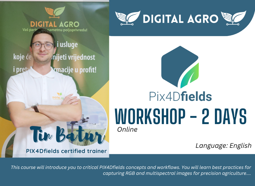
PIX4Dfields 2 days workshop - online
Couldn't load pickup availability
About this workshop
This course will introduce you to critical PIX4Dfields concepts and workflows. You will learn best practices for capturing RGB and multispectral images for precision agriculture. A series of hands-on exercises and real-world use cases will demonstrate how to effectively work with PIX4Dfields to generate high-quality vegetation indices, zonations, variable rate prescriptions, and create custom client-ready agricultural reports.
You may be transferred to another date if the minimum number of attendees is not reached.
Objectives
- Produce accurate 2D and 3D georeferenced representations of reality, including orthomosaics and 3D models.
- Acquire accurate measurements
- Share your deliverables with stakeholders.
Agenda
Lecture
- Introduction to Pix4Dfields Essentials
- Introduction to remote sensing in precision agriculture
- Introduction to reflectance and multispectral imagery
- Introduction to radiometric corrections
- Introduction to GSD for precision agriculture
- Introduction to sensors and UAV platforms for vegetation mapping
- Introduction to drone flight planning for precision agriculture
- Introduction to vegetation index analysis
Practical exercises
- Download, install, and activate Pix4Dfields
- Introduction to the PIX4Dfields dashboard
- Create a project with Pix4Dfields
- Introduction to the processing options in Pix4Dfields
- Add a field boundary in Pix4Dfields
- Generate an index in Pix4Dfields
- Generate a zonation and prescription in Pix4Dfields
- Annotate in Pix4Dfields
- Use the comparison tool in Pix4Dfields
- Magic tool
- Export data in Pix4Dfields
USE CASES:
- Use case TOPS workflow
- Use case digital scouting
- Use case R&D plot trials
- Use case Tree detection and assessment
Instructor(s)
Tin Batur, a certified Pix4Dfields trainer, holds a Master of Science in Agronomy and is an experienced UAS operator. As a dedicated educator, and service provider Tin brings a wealth of knowledge to his course participants. Here’s what he can offer:
-
Pix4Dfields Expertise: Tin’s certification equips him to guide students through the intricacies of Pix4Dfields, empowering them to create precise prescription maps and optimize crop yields1.
-
Hands-On Training: With Tin’s practical experience as a UAS operator, he imparts real-world insights on capturing aerial data and transforming it into actionable insights for precision agriculture.
-
Revolutionizing Agriculture: Tin’s passion lies in revolutionizing agricultural operations. His training ensures that students gain the necessary skills to leverage cutting-edge technology for field productivity.
Share