DigitalAgro
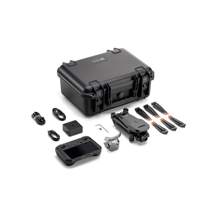
DJI Mavic 3 Multispectral + Pix4DFields Bundle
DJI Mavic 3 Multispectral + Pix4DFields Bundle
Couldn't load pickup availability
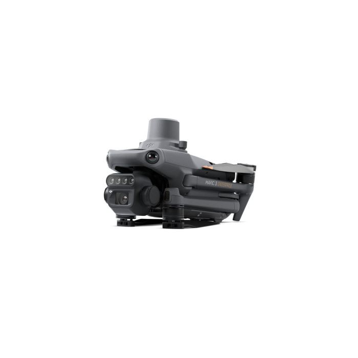
Mavic 3 Multispectral drone
Effective aerial surveying needs to see the invisible. That's why Mavic 3 Multispectral has two forms of sight. It combines an RGB camera with a multispectral camera to scan and analyze crop growth with total clarity. Agricultural production management requires precision and data, and Mavic 3M delivers both.
1-year auto activated code
Pix4DFields software - One Year subscription
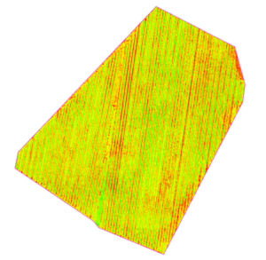
Advanced agriculture mapping software for aerial crop analysis and digital farming
Collect images using a drone and any standard RGB or select multispectral cameras.
You can also use Satellite Data Import to enhance your mapping experience with Sentinel-2 satellite data.
Create precision agriculture maps using images from drones and satellite.
The only hybrid mapping software solution for agriculture based on knowledge from farmers, agronomists, and researchers.
Share